
Chelmsford ZIP Code Coverage
Two postal codes are documented as Chelmsford postal signals: 01824 and 01863. The official Chelmsford address and precinct list shows that postal assignment and precinct assignment are separate fields. Postal results should therefore be read as mailing normalization, while town records, parcel records, and election materials remain separate evidence layers. The two rows below identify only the supported Chelmsford postal routes, without extending either ZIP into an unsupported municipal claim.
| ZIP code | Chelmsford postal signal | Post office | Local record note |
|---|---|---|---|
| 01824 | Chelmsford address route | Chelmsford Post Office, 45 Alpine Lane | Appears in the official precinct-by-address list, including part of North Road |
| 01863 | North Chelmsford address route | North Chelmsford Post Office, 3 Kennedy Drive | Appears in the official precinct-by-address list, including other North Road addresses |
A ZIP code directory is useful for spelling and delivery checks, not for deciding parcel ownership, town jurisdiction, or residency. The official 2022 through 2031 address list is the local cross-check for the documented ZIP and precinct pattern. Its examples show why the same street name needs an address-level test rather than a broad assumption.
Chelmsford Postal Lookup Modes
The USPS lookup has three distinct modes. By Address accepts company, required street address, apartment or suite text, city, state, and ZIP. By City and State accepts a city and state. Cities by ZIP accepts a ZIP. Standardized address formatting is recommended. For a historical Chelmsford address, test the printed spelling through City and State first, then test the complete address with and without apartment or suite text when that detail may affect the result.
| USPS mode | Fields documented | Best Chelmsford use |
|---|---|---|
| By Address | Company, street address, apartment or suite, city, state, ZIP | Standardize one known address before a town-record search |
| By City and State | City and state | Test a village name or historic place label as printed |
| Cities by ZIP | ZIP | Check the postal city returned for an already known code |
Open the USPS ZIP Code Lookup for the blank address, city and state, and ZIP controls.
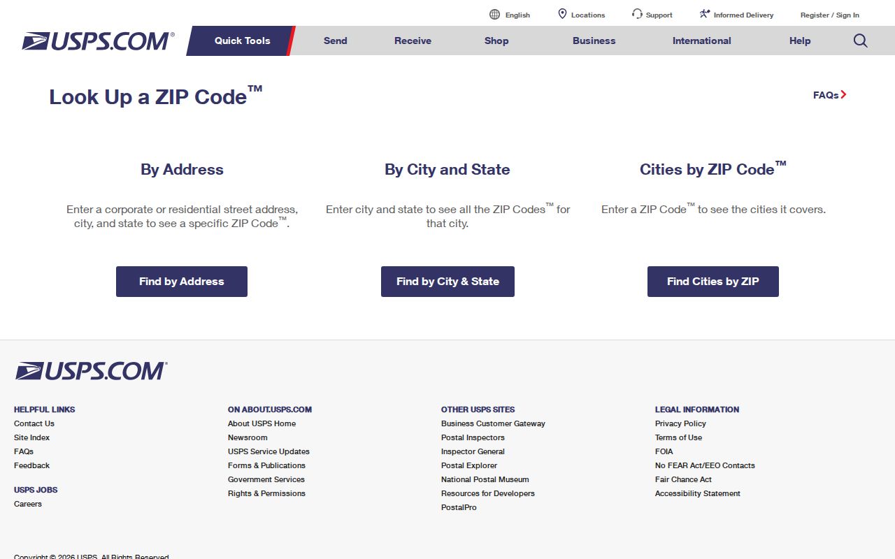
USPS explicitly limits the result to address standardization. It does not confirm that a named person or company is at the returned address.
Chelmsford Postal Service Anchor
North Chelmsford Post Office is a useful, concrete anchor for 01863. USPS identifies the office at 3 Kennedy Drive, North Chelmsford, MA 01863-9998, with retail hours Monday through Friday from 8 to 5 and Saturday from 8 to 1. Lobby and post-office access hours can differ from retail hours, so an office detail should be checked again before an in-person visit. Chelmsford Post Office is at 45 Alpine Lane for the 01824 route.
View the North Chelmsford Post Office detail to confirm the postal-office facts.
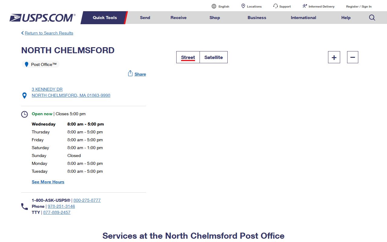
The Chelmsford post-office location identifies a postal service point. It does not redraw the Town of Chelmsford boundary or create a resident list.
Chelmsford North Road Split
North Road is the clearest local warning against treating a road name as a single postal or electoral unit. Chelmsford’s official 2022 through 2031 precinct-by-address list includes North Road addresses in 01824 and Precinct 3B, and other North Road addresses in 01863 and Precinct 3A or 2. The same list also documents differing ZIP and precinct patterns on Northgate Road, Northview Avenue, Oakhill Road, Oakwood Lane, and Old Farm Way.
Chelmsford has 11 precincts under the official map effective December 31, 2021. A precinct is an election area, not a ZIP boundary. When a specific address matters, compare the USPS result with the Town’s current precinct material and seek a new Town Clerk confirmation if the official 2022 through 2031 list is no longer current. Do not use the side of a road, a post-office name, or an old village label as a substitute for that check.
Postal boundary check. North Road shows that a Chelmsford postal code and a Chelmsford precinct can diverge even when the street name remains the same.
Find a Chelmsford Postal Match
Use a ZIP search as a controlled address-normalization process, then move to the record system that actually fits the question. The assessor and GIS tools are useful parcel checks after an address is known, but the research did not document a ZIP-field search in the Vision Government Solutions Chelmsford assessor database. Do not assume that a parcel portal supports a ZIP-wide resident search just because a ZIP appears in an address elsewhere.
- Enter the complete known address in USPS By Address. Preserve the returned ZIP as a postal match, not evidence of occupancy.
- For a historic spelling or village label, try USPS By City and State first. If the label is not accepted, test the modern town name separately and record that the address was normalized.
- Compare the result to the Town’s precinct-by-address material when the address appears near a documented split. Precinct and postal data should be kept in separate notes.
- Use the Vision Government Solutions Chelmsford assessor database or Chelmsford MapGeo to examine the resulting parcel context. Check the displayed location and any separate mailing field without treating either as proof of residency.
- Once a ZIP narrows the area, use the Chelmsford street directory for the separate address-by-address record workflow.
Start at the Chelmsford assessor landing page for the database entry point and its current FY2026 disclaimer.
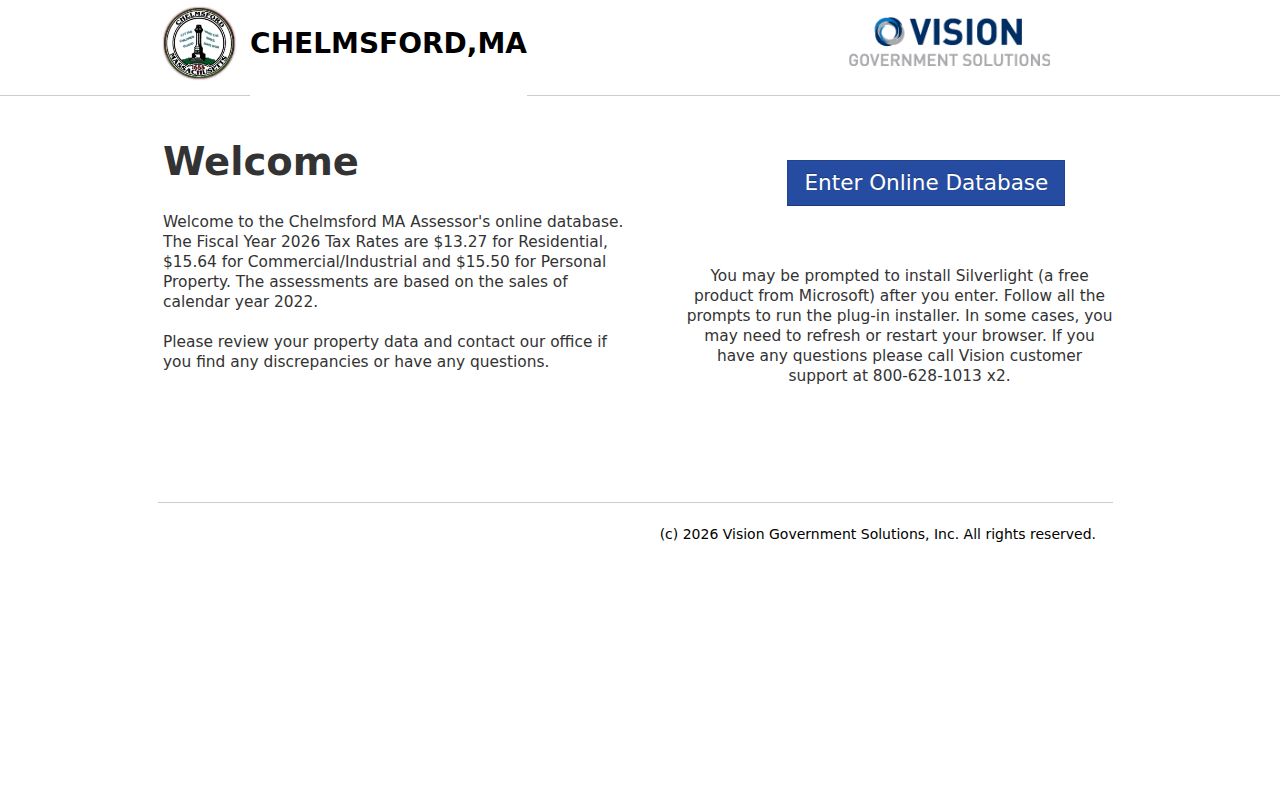
The assessor landing page routes users to parcel data; it does not establish that a postal code is a searchable field or that a mailing address is a residence finding.
Chelmsford Parcel Context Checks
After USPS standardizes an address, the assessor and GIS tools can add parcel context that a postal result cannot provide. The Vision Government Solutions Chelmsford assessor database is the official entry point for the current assessment cycle. Its landing page identifies FY2026 tax rates, says assessments use calendar-2022 sales, and directs data questions to the Board of Assessors. Rates and valuation basis change, so retain the page date when either is relevant to a record note.
When a parcel card displays them, useful fields can include property or parcel ID, location or street address, owner or taxpayer name, separate mailing address, land and building values, total assessed value, land area, style or use, year built, rooms, sales history, and assessment details. The record may omit some fields. A separate mailing address can be a tax-bill destination, trustee or corporate address, attorney address, or stale value. It is not a finding that a person lives there.
| Displayed parcel field | What it can support | What it cannot settle |
|---|---|---|
| Location or street address | Connection between a parcel and a standardized address | Postal-route assignment without a USPS check |
| Owner or taxpayer | A listed ownership or tax relationship at the record date | Daily occupancy or all household members |
| Mailing address | A separate contact field as displayed on the card | Residence, municipal jurisdiction, or postal boundary |
The documented Chelmsford assessor interface should be used as an address or parcel check after postal normalization. No ZIP search field was captured in the research, so a code-wide person search should not be inferred from this database.
Chelmsford Postal History Checks
USPS also provides a post-office history tool for ZIP-to-city research. Its interface begins with From ZIP and To ZIP first-three-digit fields, and USPS warns that historical data may not be current. That makes it a background source for an older Chelmsford mailing designation, not the primary method for normalizing a current Chelmsford address. Use the current ZIP Lookup for a current address and retain the historical output as dated context only.
Open the USPS post-office history lookup when an older postal label needs a separate, carefully dated check.
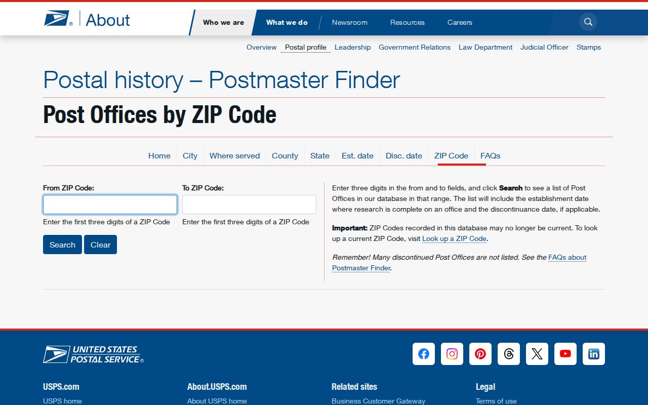
A historical postal-city result can explain a label in an old directory, but it should not replace today’s address lookup or Town records.
Chelmsford Village Postal Labels
Chelmsford Center, North Chelmsford, South Chelmsford, West Chelmsford, and East Chelmsford are local place terms found in records. Older directories may shorten them to EC, NC, or W. These terms are historical and social geography, not necessarily incorporated municipal units. Keep the source’s spelling in a research note, especially when an old directory or newspaper entry is being compared with a modern postal address.
A rural route, village abbreviation, or post-office name may be a mailing designation rather than the municipality containing a parcel. This is why a Chelmsford ZIP code directory should show postal match and residency evidence as separate ideas. Parcel location, voter precinct, directory listing, and delivery standardization each come from different custodians and have different dates.
Note: Treat a modernized address as a documented normalization step, not as an unqualified replacement for the original historic wording.
Chelmsford Postal Boundary Limits
ZIP boundaries are postal delivery constructs, while Chelmsford town limits, parcels, precincts, and registry town fields serve other purposes. An address with a Chelmsford postal label may need a parcel or Town Clerk check for municipal context. Likewise, a Town record may use a historical village term even though USPS returns a modern standardized address. When sources disagree, retain both results with their dates rather than choosing the more convenient one.
- ZIP versus ZIP+4
- A ZIP identifies a delivery area. ZIP+4 adds a more precise delivery segment; it is still postal routing, not a parcel description.
- PO-box ZIP
- A ZIP used for post-office boxes rather than ordinary street delivery. No separate PO-box-only Chelmsford ZIP was documented in the research.
- Unique ZIP
- A ZIP assigned to one organization or institution. No unique Chelmsford ZIP was documented in the research.
- Carrier route
- A delivery-route grouping used by postal operations. It is not a voter precinct, town boundary, or proof that a person receives mail at an address.