
Find Chelmsford Street Records
Begin with the address as printed in the record. The current assessor roll and MapGeo viewer are useful for identifying the parcel, lot lines, basic property data, and the street around it. They establish a property research starting point, not a list of people living there. The next records supply different dates and purposes: a deed documents a transaction, a town street list may show a dated municipal listing, and a printed directory may preserve an older household entry. Keep the parcel ID, street form, source date, and any book or page citation together as the search moves from one source to another.
- Enter the address in the Vision Government Solutions Chelmsford assessor database and record the property ID, location address, owner field, assessment cycle, and any separate mailing address.
- Open the same location in Chelmsford MapGeo to view parcel lines, structures, nearby parcels, and the available map themes.
- For a dated municipal list, request the appropriate Chelmsford annual street-list material from the Town Clerk with protected fields withheld. The state self-lookup is intended for a voter checking that voter’s own status, not for compiling a block list.
- Use the owner name, town filter, and address variants in the Middlesex North recorded-land index. Save the recording date, document type, book/page or instrument number, and plan reference.
- For an older household question, use a street-arranged volume where available, or pair an alphabetical directory with its street index or List of Men and Women. The historical collection is described in the Chelmsford city directory.
Ownership, mailing location, historic listing, and present occupancy are not interchangeable. A result is most useful when it states exactly which one it supports.
Chelmsford Street Directory Fields
The Vision landing page directs users into the online assessor database and identifies the Board of Assessors as the contact for data questions. A parcel card can display a property ID, street location, owner or taxpayer, mailing address, values, land area, building characteristics, sale history, and tax details. Field availability can vary by card, so a missing field should remain a missing field rather than being filled from another source. A separate owner mailing address may be a tax-bill destination, a trustee or business address, or an older value. It is not proof of a person’s residence.
| Vision field | How to use it | Important limit |
|---|---|---|
| Property or parcel ID | Use it to match the assessor card to MapGeo and a focused records request. | It identifies a parcel, not an occupant. |
| Location address | Retain the street form shown on the card before searching deeds or maps. | Older sources may use another form of the address. |
| Owner or taxpayer | Use as a deed-index search term and label it as an ownership field. | A recorded owner may not live at the site. |
| Mailing address | Record separately from the situs address, which is the property’s physical location. | It can be stale or belong to an agent, trust, or business. |
| Sale and assessment details | Use dates and values to narrow a Registry search. | Assessment data is not a title opinion. |
The Chelmsford assessor landing page shows the route into the Vision database and its current-cycle notice.
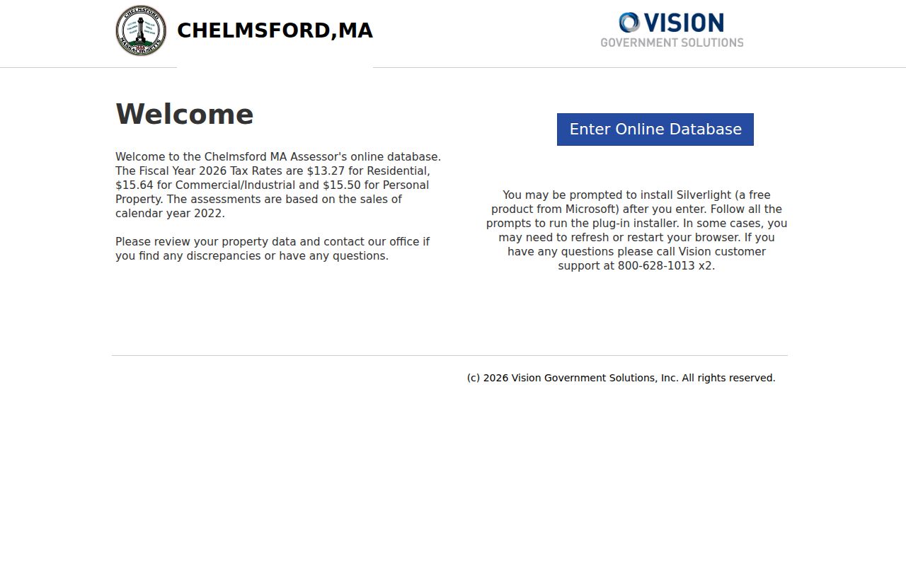
Use the card’s labels and capture date with the address. That preserves the difference between a live assessment display and a historic address record.
Chelmsford Street Parcel View
MapGeo offers four practical search paths documented by the town permitting guide: Map/Block/Lot, address, owner last name, and the Search button. The result map can show lot lines, structures, adjacent properties, and basic property data. Its themes add site details, natural resources, adjacent land uses, zoning, and aerial photography. This makes MapGeo a strong tool for checking whether two address references land on the same parcel or whether a road’s setting changed over time. The town describes the viewer as general information, not engineering, permitting, or survey evidence.
| MapGeo search path | Entry to preserve | Best use | Limit |
|---|---|---|---|
| Map/Block/Lot | The complete parcel reference as shown by the town | Match a known assessor parcel to the map | It does not establish a household. |
| Address | Street number and street form used in the source | Locate the selected property on its street | Historic numbering and spelling may differ. |
| Owner last name | Last name from an assessor or deed record | Find an assessed parcel for comparison | The result is an ownership lead, not occupancy proof. |
| Search button | The selected result and capture date | Open the map result and available themes | Map information is not engineering or permitting evidence. |
A useful street-by-street capture records the selected parcel ID, street labels, adjacent parcel IDs, visible theme, and capture date. Do not turn names attached to nearby parcels into a list of residents. The map supplies a geographic layer; the assessor card supplies assessment context; recorded land supplies transaction context.
The official Chelmsford MapGeo viewer displays the search entry and layer controls used for this parcel check.
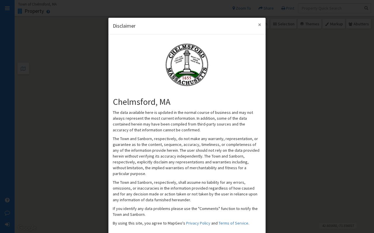
Map themes are especially useful for seeing road alignment and nearby parcel edges, but a displayed boundary is not a legal survey.
Chelmsford Street Deed Searches
The Middlesex North Registry recorded-land search supports property searching by street number and street name. Its instructions recommend omitting Road, Street, or Avenue when suffix variation interferes. Condominiums may need a unit, hyphenated numbers may be indexed as the whole number or a component, and numbered streets may appear as a numeral or a word. Address entry is routine chiefly from the late 1990s, so a no-result property search does not prove an older deed is absent.
For a modern recorded-land search, choose Chelmsford in the town filter when it is available, use a narrow date window, and open the document image rather than relying on a result row. Record the grantor, the giving or selling party, and the grantee, the receiving or buying party, along with the document type, recording date, book/page, instrument number, consideration if shown, legal description, and plan citation. The detailed Registry instructions describe computerized name searching as 1976 to present, while its FAQ says 1966 to present. Preserve that source discrepancy rather than selecting a date without note.
The Registry search instructions show the name, book/page, property, and grantor-grantee pathways.
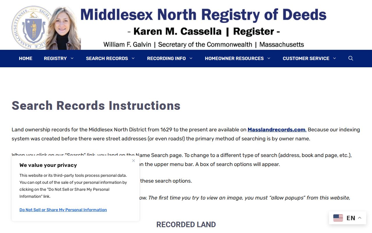
Use the property mode as an index entry point, then follow the cited image and prior-title reference with the same care used for a name search.
The recorded-land search itself shows the available tabs and fields on the Middlesex North deed index.
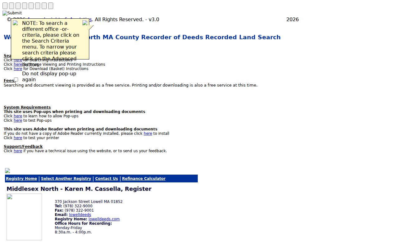
A deed confirms a recorded transaction. It does not, on its own, identify everyone who occupied the address.
Chelmsford Address Record Sources
Address-keyed material answers different questions. The table keeps the distinctions visible and gives the documented fallback when a live search does not reach the needed period. The Massachusetts Public Records Law can be used to request existing town records, but it does not require the town to create a new address database or answer an open-ended research question.
| Address source | What it can show | Access route | Boundary |
|---|---|---|---|
| Vision assessor card | Parcel identifier, location, owner/taxpayer, assessed property details | Vision portal; Assessor RAO for existing records | Owner and mailing fields do not establish occupancy. |
| MapGeo parcel map | Parcel geometry, nearby lots, structures, themes, and basic property data | Free town viewer | General-information map, not a legal survey. |
| Middlesex North deeds and plans | Recorded transfer, parties, document date, book/page, legal description | Masslandrecords, Registry image, certified-copy route | A transaction is not a household list. |
| Town annual street list | Date-specific municipal listing for qualifying residents | Town Clerk request; town fee schedule lists a $25 Street List | Protected and confidential fields must be withheld. |
| PermitEyes and building files | Public applications, site address, status, and related record leads | PermitEyes; Building or Community Development RAO | An application is not proof of completion or occupancy. |
- Parcel
- A mapped unit of land used for assessment and reference purposes.
- Situs address
- The property’s physical street location, kept separate from any owner mailing address.
- Plat or plan
- A recorded drawing that can show lot layout, road lines, and plan references.
- Criss-cross directory
- A directory arranged by address or street, useful for historical address-to-household research.
Note: Start a request with the parcel ID, street segment, date range, and department so the custodian can locate an existing record.
Chelmsford Street Map History
Street continuity is often the real problem. Chelmsford Historical Society’s property-research guidance warns that house numbers were not generally assigned until the early 1940s, and Lists of Men and Women lack street numbers until 1942. Earlier entries need the printed street form, village, household or owner clue, and neighboring listings for disambiguation. Preserve an abbreviation such as NC, W, or EC as printed, then make a separate normalization note. Do not silently convert a historic village notation or short road name into a modern postal address.
The town’s Town Layouts archive groups material from 1656 through 2005. It can help compare an old road layout or boundary line with the address found in a directory or deed.
A dated layout is evidence about the map period, not proof that a current street name was used in every earlier source.
The town’s Published Maps index adds zoning, open-space, flood, historic, and community-development map groups.
Compare the map legend and date with the directory year before attaching a historic locality name to a property.
Chelmsford Street Index Fallbacks
When a street search stops at the computer index, the Registry still offers a dated fallback chain. Unindexed property searching covers books 1 through 1131, from 1855 through December 1949, by book and page. Pre-1855 copied Cambridge records are split by town and require town, book, and page. Older grantor and grantee indexes can be searched by date range and name, then checked image by image because page boundaries and spellings matter. A landscape-page quirk can require moving from an even page selection to the next odd page.
Plans can be searched by plan book and number, date, or property. A recorded plan may supply road layout and lot references, while registered land uses a different certificate-title workflow. Label the system before comparing it to a recorded deed. The Registry can provide certified copies by phone, email, or in person when a formal copy is needed; its Lowell office is a service location, not evidence that the property or a party is in Lowell.
Chelmsford Street Boundary Clues
Postal and election geography can break a simple street search. The official 2022 to 2031 precinct-by-address list shows North Road addresses in ZIP 01824 and Precinct 3B, while other North Road addresses appear in ZIP 01863 and Precinct 3A or 2. Northgate Road, Northview Avenue, Oakhill Road, Oakwood Lane, and Old Farm Way also show differing ZIP and precinct patterns. One street label therefore does not equal one ZIP or one precinct.
Use the official address list and current USPS ZIP Lookup as cross-checks. USPS can standardize an address, but it does not confirm who lives there. A returned ZIP is postal evidence, not a parcel boundary or resident finding.
Note: Record the ZIP, precinct, street spelling, and source date as separate fields when an address crosses a boundary.
Chelmsford Street Record Requests
When the needed address record is not online, ask the department that keeps it for an existing record rather than a conclusion about a person. Chelmsford’s public-record guidance directs a requester to identify the department, record category, date range, address or parcel, preferred format, and whether inspection or copies are wanted. The town may provide access or copies, or explain a delay or denial, within the Massachusetts Public Records Law process. A request cannot require the town to build a new street-by-street compilation.
For assessor material, route the request to the Assessor RAO. Permit or application material belongs with Building or Community Development. Minutes and reports belong with the Town Clerk or Clerk’s office. The general public-record portal is not a substitute for the Registry, MassCourts, State Archives, or a dedicated vital-record request. The town accepts the public-record portal, mail, email to the appropriate RAO, fax, or in-person submission at Town Offices; retain the request wording and the response date.
A narrow request can ask for a particular record series, street segment, year, and public fields only. It should also ask the custodian to withhold protected material and to identify any fee estimate before work begins.
Chelmsford Street Directory Limits
A public street record has limits. Assessor and Registry sources can document property or recorded transactions, but they do not provide a complete household roster. A public voter record is subject to protected and confidential fields. Driver, utility, delivery, private subscriber, and unredacted police records are not ordinary address-search fallbacks. The Driver’s Privacy Protection Act is one reason a motor-vehicle address cannot be used as a general public-record route.
Massachusetts protects some addresses through the Address Confidentiality Program, and protected voter files must remain suppressed. A missing address can reflect lawful protection, not a search error. Minimize direct identifiers, avoid publishing a person’s phone, email, or date of birth, and do not combine a name with a precise home location unless the research purpose truly requires it.
Lawful use. Chelmsford street records support personal, historical, property, and civic research. Repeated unwanted contact, monitoring, threats, or address exposure can cause harm and may be unlawful under Massachusetts harassment and stalking law.