
Chelmsford Neighbors by Block
Public records provide several narrow views of a block. Chelmsford MapGeo provides parcel geometry and themes. The assessor card can show the parcel’s assessed owner or taxpayer and mailing information, which must remain distinct from the property’s situs address. Middlesex North land records document recorded transfers. The Town Clerk can route a request for date-specific public street-list material, subject to protected fields. Historic street-arranged directories, maps, and cemetery records can supply dated context. Each source should be labeled as parcel, ownership, election, historical, postal, or community evidence rather than collapsed into a claim about who lives nearby.
| Block source | What it shows around an address | Access and limit |
|---|---|---|
| Chelmsford MapGeo | Selected parcel, nearby parcel boundaries, structures, streets, and available themes | Free viewer; general information, not a legal survey. |
| Vision assessor database | Parcel ID, street location, owner/taxpayer, and assessment detail | Free portal; owner or mailing field is not occupancy evidence. |
| Middlesex North Registry | Recorded parties, transfer date, book/page, instrument, and plan references | Online index and images; a deed is not a resident roster. |
| Town annual street list | A date-specific municipal listing for qualifying residents | Town Clerk route; protected and confidential data stays withheld. |
| Maps, directories, and cemetery records | Historic setting, an earlier street listing, or a burial record | Date-bound research tools, not current-contact sources. |
Start with the parcel that is actually selected, then note the source date before comparing nearby records. A property owner, an old directory household, and a current neighbor are three separate possibilities.
Map Chelmsford Neighbor Parcels
Chelmsford MapGeo is the best first geographic layer because the town’s permitting guidance documents searches by Map/Block/Lot, address, owner last name, and the Search button. Result maps can display lot lines, structures, adjacent properties, and basic property data. Site details, natural resources, adjacent land uses, zoning, and aerial photography appear through themes. Use those layers to understand the parcels touching the selected site, not to build an identity list from map labels.
- Search the address in Chelmsford MapGeo and save the selected parcel ID, visible street form, and map capture date.
- Click each directly adjacent parcel and record its parcel ID, street label, and any relevant map theme or aerial context.
- Open the corresponding Vision assessor record only to compare the parcel location and assessed owner or taxpayer field.
- When a boundary, road alignment, or lot reference matters, check a Registry plan or a dated town layout. Do not treat MapGeo geometry as survey proof.
- For a full named-street trail instead of an immediate block review, use the Chelmsford street directory process.
The useful flow is address to selected parcel, selected parcel to adjacent parcel IDs, parcel ID to assessor context, then a dated deed or plan when the record calls for it. This keeps the evidence chain geographic and reviewable.
Chelmsford Neighbors Map Layers
MapGeo can illuminate the physical relationship of parcels without saying anything conclusive about occupants. Aerial imagery can place a structure in a landscape. Zoning and natural-resource themes can explain why nearby lots differ in size or use. A road or lot line can lead to a plan citation, while an adjacent land-use theme can help distinguish a boundary question from a household question. The town’s own guidance says the map is for general information and not for engineering or permitting, so it should never replace a recorded plan or survey when the boundary itself matters.
The official MapGeo viewer shows the search entry, map controls, and theme controls available for a Chelmsford block review.
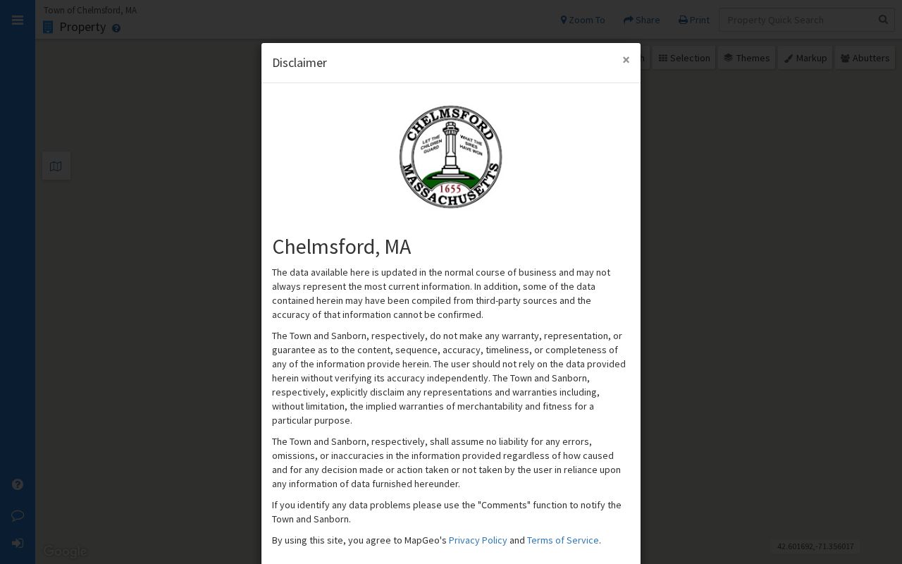
Capture only the parcel and layer facts needed for the question, then move to the assessor or Registry source for the separate ownership or recorded-land question.
Chelmsford Neighbors Geography Signals
Village, ZIP, and precinct labels are useful labels for neighbors only when their limits are clear. Local sources use Chelmsford Center, North Chelmsford, South Chelmsford, West Chelmsford, and sometimes East Chelmsford or EC. These are historical and social place terms, not necessarily incorporated boundaries. Older directories can use NC, W, or EC long after a modern postal address has changed. Preserve the source’s own village term and avoid treating it as a formal neighborhood boundary.
Chelmsford has 11 precincts under the official map effective December 31, 2021. The 2022 to 2031 precinct-by-address list shows a particularly useful caution: North Road has addresses in both ZIP 01824 and ZIP 01863, with different precinct assignments. Northgate Road, Northview Avenue, Oakhill Road, Oakwood Lane, and Old Farm Way also show patterns that do not reduce to one street equals one ZIP. USPS can standardize a mailing address, but its result does not confirm a person or company at that address.
Note: Mark a neighbor clue as postal, election, village, or parcel evidence so readers can see what the label actually means.
Chelmsford Neighbors Historic Maps
Historic maps help explain a block without turning an old name into a current resident claim. Chelmsford’s town layouts span periods from 1656 to 2005, and the town’s published map material includes historic, zoning, open-space, flood, and community-development groups. Compare an actual map’s title, legend, and date against the record being checked. A map can help establish earlier road alignment, a village label, or a plan-era lot pattern. It cannot establish a current household.
Town layouts and Registry plans are complementary: a layout gives municipal map context, while a recorded plan can provide a specific lot or road reference. When an old street label is involved, preserve the printed form, village abbreviation, map date, and plan citation separately from the modern mailing address.
Chelmsford Neighbors Community Sources
Community organizations are a layer of local context, not a shortcut to a list of neighbors. The historic and cultural organizations record names the Chelmsford Economic Development Commission, Chelmsford Business Association, Rotary Club of Chelmsford, Chelmsford Historical Society, Garrison House, library, and related groups. The historical record also names Village Improvement Associations, garden clubs, Grange, Scouts, PTAs, churches, veterans groups, and the Chelmsford Taxpayer’s Association. A current street-by-street association list or complete public membership directory was not located in the official sources reviewed.
| Documented organization | Useful community fact | What it does not establish |
|---|---|---|
| Chelmsford Business Association | A town business association established in 1990 with a public organizational contact. | Its presence or membership does not prove a person lives at a nearby address. |
| Chelmsford Open Space Stewardship | An independent volunteer group maintaining open space and community gardens since 2005. | Volunteer activity is not a neighborhood roster. |
| Chelmsford Historical Society | A local history source, including the Barrett-Byam House and directory research material. | A historical entry or affiliation is not current contact information. |
| Town boards and committees | Government contact categories for routing public records or meeting information. | A staff or board contact directory is not a residents directory. |
The public Chelmsford Business Association page is a documented community umbrella source with organizational contact information.
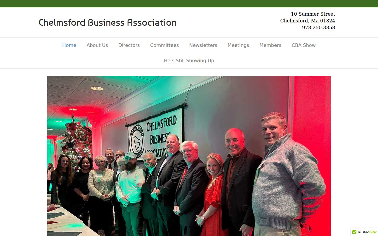
Use the organization’s mission and public contact as the finding, never as an inference about nearby residents.
Chelmsford Open Space Stewardship provides another public community layer tied to local open spaces and gardens.
Its work can explain a shared local place, but it does not identify who lives on the surrounding parcels.
Chelmsford Neighbors Cemetery Context
Cemetery material is historical evidence, not a current block directory. Chelmsford maintains six municipal cemeteries with varying historical depth, and the town’s burial search can be used with name, date, cemetery, aliases, and similar-match features. A burial entry can help date a family or associate a historic locality, but it is not a death certificate and should not be used to infer a living relative’s address. For a historic property question, pair the cemetery result with a dated directory, obituary, deed, map, or annual report rather than relying on a single index hit.
The Town of Chelmsford cemeteries portal provides the municipal landing page for this historical layer.
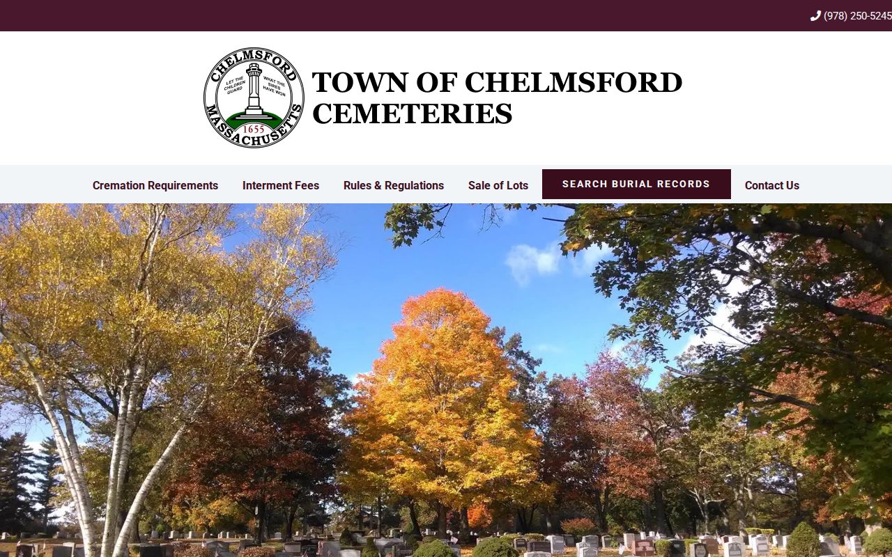
A date and cemetery name can narrow research, while the underlying relationship and address questions still need their own dated evidence.
Chelmsford Neighbor Source Comparison
Official geographic records have clear custodians and visible limits. Commercial neighbor-search categories may combine public and unverified information, but their source dates, correction path, and identity match can be unclear. A careful block review favors the parcel map, assessor card, recorded plan or deed, and a narrowly requested municipal record over a composite profile. That method is slower, but it preserves the difference between a property fact and a statement about a person.
| Official record route | Commercial neighbor-search category | Safer conclusion |
|---|---|---|
| MapGeo plus Vision assessor card | Composite address listing | State only the parcel and assessment fields actually displayed. |
| Registry image and recorded plan | Transaction summary | Use the recorded date, parties, and book/page from the official image. |
| Town Clerk street-list request | Undated people list | Request a date-specific existing record with protected fields withheld. |
Note: If records disagree, preserve both dates and source labels instead of choosing the entry that appears most convenient.
Chelmsford Neighbors Privacy Limits
Some information is intentionally unavailable. Assessor, Registry, and map sources do not provide a complete household roster. Protected voter records, juvenile and sealed court files, medical information, utility records, delivery records, private subscriber lists, and motor-vehicle addresses are not ordinary public sources for a neighbor search. A missing result does not signal an error or invite a workaround. It may reflect a lawful restriction, a different record system, or a lack of dated evidence.
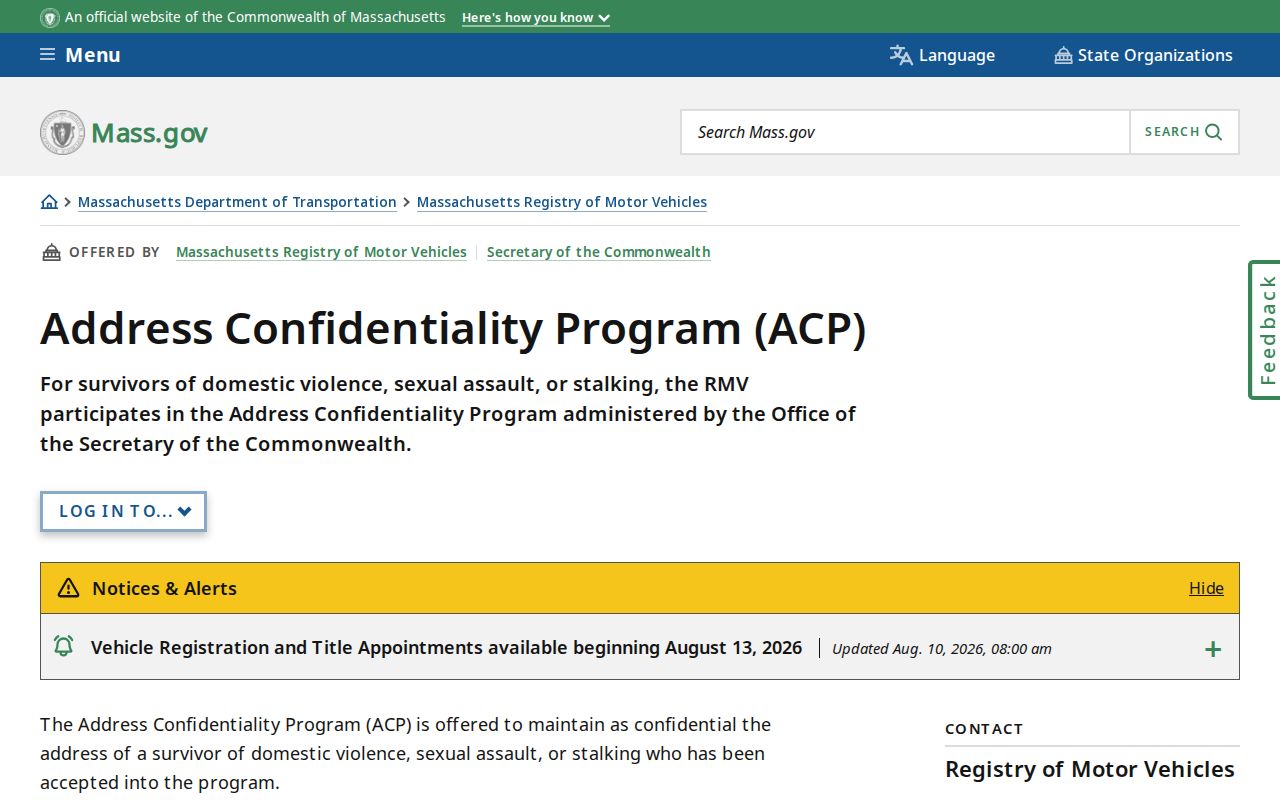
Massachusetts’s Address Confidentiality Program serves eligible people through a substitute address and mail forwarding. Do not attempt to reverse a substitute address or locate a protected person. Confidential voter records are similarly not evidence that a resident is absent. Direct identifiers such as phone numbers, email addresses, dates of birth, and protected locations should not be copied into a local research record unless a lawful purpose and source require them.
The Massachusetts Address Confidentiality Program guidance explains the protected-address program and its lawful handling.
Protected-address rules are a hard stop, not a search obstacle. The right response is to leave the information suppressed.
Lawful use. Chelmsford neighbor research should support personal, historical, property, or civic questions. Do not use public information for repeated unwanted contact, monitoring, threats, or address exposure; these actions can cause harm and may be unlawful.